A mountain that keeps reshaping its surroundings
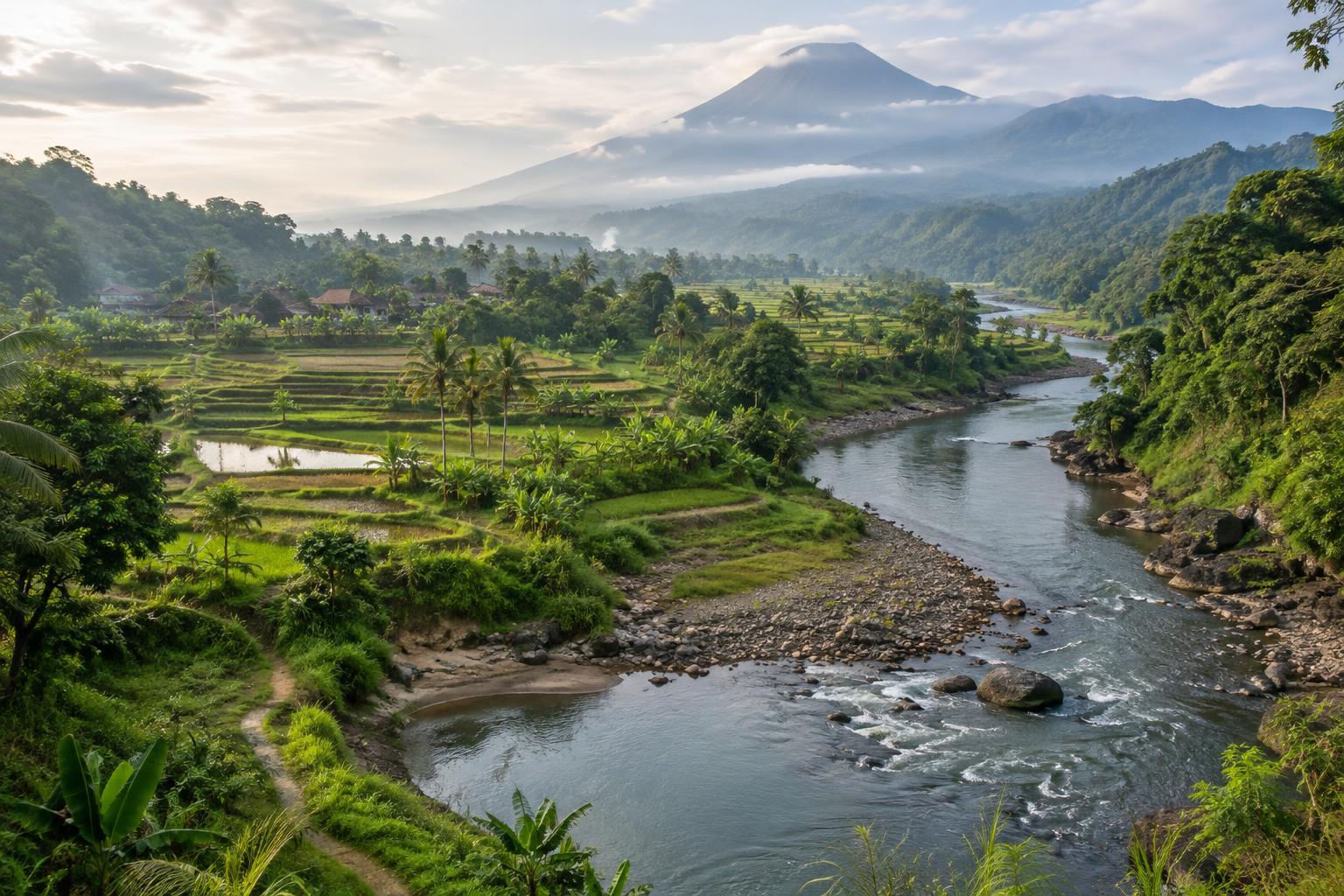
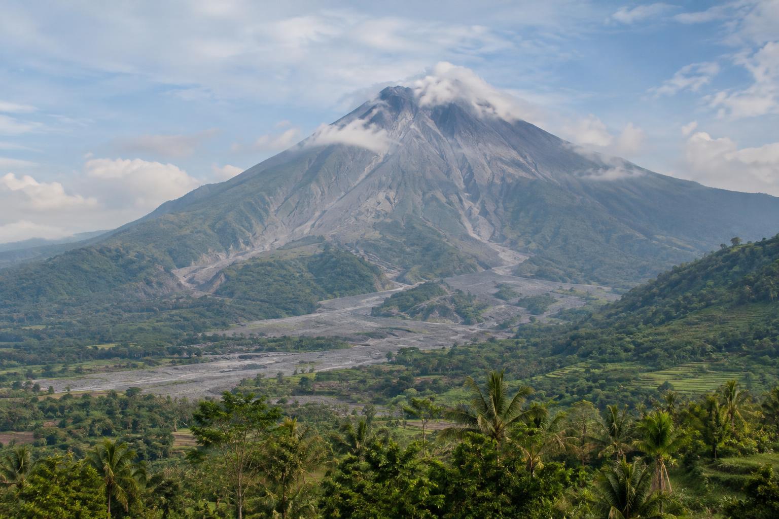
Mount Merapi rises above a landscape that can look settled from a distance: cultivated fields, villages, wooded slopes and river valleys spread out below its summit. Look more closely, though, and the terrain shows signs of repeated change. Bare channels cut through greener ground, while dark rock and loose sediment mark places where volcanic material has travelled downhill. Vegetation gradually returns to some disturbed areas, softening their outlines without making the underlying hazards disappear.
Merapi is an active volcano, so a view of its slopes is never quite a view of a finished landscape. Eruptions can build and alter material near the summit. Hot flows, falling ash and later erosion can change routes down the mountain. For a visitor, the most useful approach is not to identify every rock from afar, but to notice how steep slopes, valleys and rainfall work together to move material.
What deposits can reveal
The word “lava” is often used loosely for anything dark or rocky on a volcano. Lava is molten rock that has reached the surface and then cooled. Merapi’s slopes may also hold deposits from pyroclastic flows: fast-moving mixtures of hot gas, ash and rock. Ashfall can blanket a much wider area with fine material. From a roadside viewpoint, it may be difficult to tell these deposits apart, and appearance alone cannot establish when they were laid down.
After an eruption, rain and streams can remobilize loose volcanic material. These sediment-laden flows, known as lahars, tend to follow drainage channels and can affect places far below the summit. A valley that seems quiet in dry weather may therefore demand caution during heavy rain, even if the sky at the viewpoint looks clear. Thinking of deposits as part of an ongoing process helps explain why a rocky riverbed is not simply an open path for exploring.
Why valleys matter
Valleys give water and moving debris a route downhill. Their shape can concentrate hazards that are less obvious from higher ground. Fresh-looking sediment, large boulders in a channel and steep, eroded banks can all prompt useful questions about how the valley has changed, but they are not a reliable do-it-yourself safety test. Conditions upstream, including rainfall outside your immediate view, may matter more than what you can see at your feet.
It is tempting to step closer to a river channel or an exposed deposit for a photograph. A better plan is to observe from an established, permitted place away from the channel and its banks. Do not cross barriers, enter closed areas or assume a track is safe because other people have used it. If rain begins, visibility drops or access guidance changes, leave the area rather than waiting for a clearer view.
Choosing a viewpoint, not a guarantee
A useful Merapi viewpoint does not need to be close to the summit. A distant, open position can make it easier to see the mountain’s overall shape, the lines of its valleys and the transition from exposed ground to farmland. Cloud often hides the upper slopes, so allow for the possibility that the best part of the visit will be noticing the landscape below rather than seeing the peak.
No named viewpoint is permanently safe or reliably accessible. Before setting out, check current volcano warnings, weather conditions and local access rules through appropriate official channels. Follow signs and instructions on arrival, including any restrictions on roads, trails or viewing areas. Choose a place where you can stop without obstructing traffic or entering private land, and be ready to change plans. A viewpoint is worthwhile only when the route to it and the place you stand are permitted under the conditions of the day.
Taking time to see the whole landscape
A thoughtful visit can connect the mountain to the lives and places around it without turning damaged ground into a spectacle. Notice where roads bridge river channels, where fields meet stony terrain and where plants are reclaiming exposed slopes. These details show both the force of volcanic processes and the ways people use the land, though a brief visit cannot tell the full story of any community’s experience.
Keep to designated paths, avoid collecting rocks or disturbing new growth, and ask before photographing people or homes. If you travel with a guide, treat their route choices and any local restrictions seriously rather than pressing for a closer stop. Merapi’s most revealing views often come from standing back: the distance makes its valleys legible and leaves room for the caution an active mountain deserves.